The UK Health Security Agency has cautioned that vulnerable groups, including older people and those with pre-existing health conditions, are particularly at risk
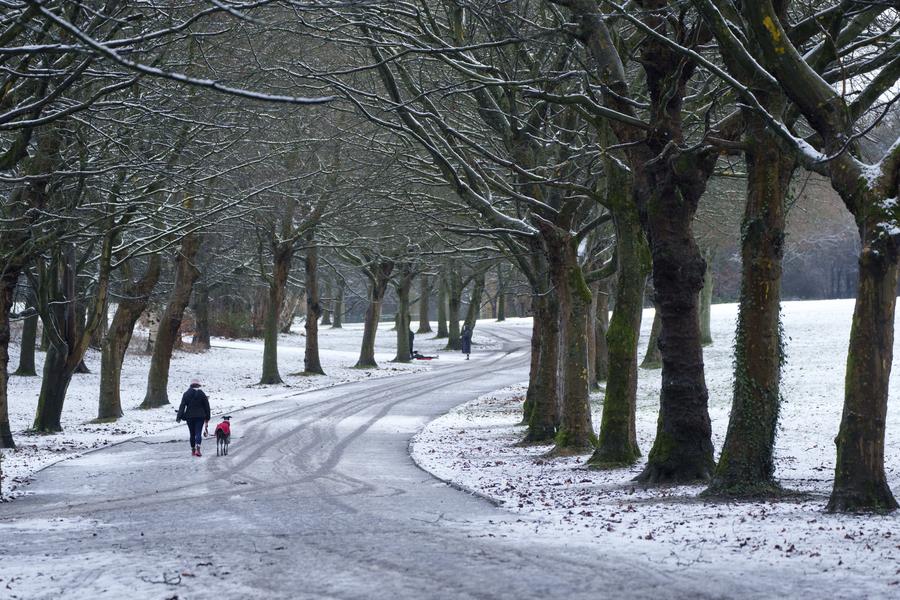
London is bracing for cold weather after a yellow cold-health alert is set to be in place for five days. The alert will be in place from 9am Friday, February 7, until 9am on Tuesday, February 11, with health services expected to feel extra impact during this period.
The UK Health Security Agency (UKHSA) has cautioned that vulnerable groups, including older people and those with pre-existing health conditions, are particularly at risk.
The cold weather is likely to lead to increased use of healthcare services, and in some cases, could pose a risk to life. Residents are urged to take precautions to stay warm and safe during this period.
This includes keeping homes heated to at least 18°C, wearing warm clothing, and checking on neighbours or family members who might need support. The UKHSA advises those in vulnerable groups to seek medical help if necessary and to remain aware of the risks associated with the cold weather.
“Breezy winds and increased cloud amounts are expected to exacerbate the cold feel, with temperatures often below average.” – Frank Saunders, Met Office Chief Meteorologist
Frank Saunders, Met Office Chief Meteorologist, explained that high-pressure is set to move in, bringing along with it easterly winds, low temperatures and an increasing risk of wintry hazards such as snow and ice.
Much of the rest of the UK looks likely to be free of snow, though a large part of south east Britain could see rain on Monday morning, including Kent, Essex, Suffolk and Norfolk. Temperatures next week are set to be below average, though many spots will stay dry, according to the Met Office’s long range forecast, covering February 10-19.
It reads: “Breezy winds and increased cloud amounts are expected to exacerbate the cold feel, with temperatures often below average. Although many places across the country will remain dry, southern and southwestern areas in particular may see some wintry precipitation at times. Overnight frost is likely to feature during this period, particularly where skies are clear, however, where winds remain breezy this will decrease the overall risk of a hard frost forming.”
For its medium-term forecast covering February 9-18, the Met Office has warned of possible snow showers and sleet across the UK. It said: “Winds across many areas are likely to come from an easterly direction, which will intensify the cold feel.”
It added that temperatures are expected to fall below average as Brits initially face precipitation and rain. The Met Office said: “Afterwards, there is a risk of sleet or snow showers moving in with the east to south-easterly wind. However, many parts of the country are expected to remain dry.”
The extended forecast, covering late February and early March, indicates unsettled conditions. However, despite high pressure initially dominating the east or north-west, warmer weather is also possible.
“During this transition towards the end of the forecast period, there is the potential for more prolonged rain or snow, at least for a time, but confidence in these details remains low,” the Met Office said.
Storms originating in the UK, Ireland or the Netherlands all follow the same naming alphabet — meaning that Storm Floris comes after Storm Eowyn. Storm Herminia upset the pattern as it originated in Spain and was named by an overseas agency.
Storm Herminia hit the UK at the end of January, bringing heavy rain and strong winds, with gusts reaching up to 82 mph in Cornwall.